BorderLand 9
PRESIDIO, TEXAS. Some say the West begins in Fort Worth. That may be so in the world of conversational visions. But the visceral West, the one that brings out an involuntary cry of “Yeeh-haah”, the one we dream about— the West of independence, freedom, and strength— that West begins elsewhere.
I felt hints of it riding through small towns just west of McAllen, towns that don’t seem to have changed since the 1930’s. The feeling grew stronger as I rode into Langtry to see if I could visit a readers’ mother who lived “just two houses down from the Hanging Tree.” That’s the tree, legend has it, that Judge Roy Bean used to exact justice.
 |
 |
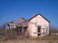
Scenes from Langtry
The feeling became an overwhelming rush just east of Marathon as the horizon widened, the road straightened, and the landscape changed to a luminous mixture of yellow grasses, brush, and dark mountains.
Wide open spaces. You are on your own out here.
Not wanting to spoil the experience for others, I left as much empty road behind me as I could, slowing down only when I reached Marathon. There, Barbara Novovitch told me how she and her husband had visited once and came back as quickly as they could for another three or four visits. Then they packed up and left Washington, D.C. to live in Marathon, a tiny town in a gigantic county with a population of only 10,000 people. The county is large enough to hold the states of Rhode Island and Connecticut with room to spare, not to mention being large enough to hold all of Big Bend National Park.
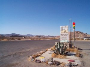
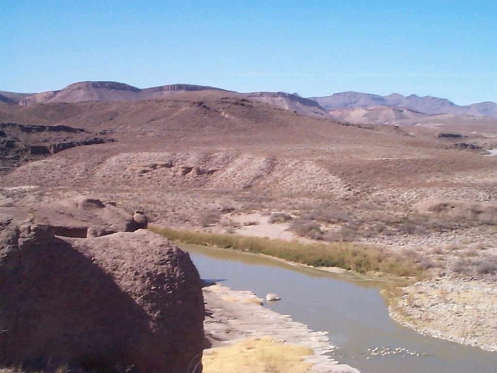
Pictures and words can’t convey the vast beauty of Big Bend, a place of prodigal landforms, immense stones, and space that can only be described as magnificent. In fact, stirring beauty isn’t limited to the park. The entire 65-mile road from Marathon to the park entrance is a beautiful ride, surpassed only by the 50-mile road from Study Butte to Presidio— what many call “the river road.” The road out of the area, from Presidio to Marfa and Fort Davis, is strikingly different, amazingly beautiful, and almost eerie for its vast spaces.

North of Presidio
Perhaps that is what makes the experience of Presidio so strange. Described by journalist John Reed in 1913 as “a straggling and indescribably desolate village,” Presidio in the year 2000 is neither straggling nor desolate. It is just oddly vacuous, a large village with wide and dusty dirt roads, a multitude of manufactured homes, and a broad boulevard-like highway that leads to and from the bridge to Ojinaga (pronounced Oh-hee-na-ga) and Mexico.
Known to odd fact seekers as the town with the highest daytime temperatures in America and to the Texas Workforce Commission as the highest unemployment area in the state, 26.2 percent, Presidio can legitimately moan that it is lost, forgotten, and abandoned. It is an isolated outpost.
Crossing the bridge on my motorcycle, I quickly learn that there is a lot more going on in Ojinaga than there is in Presidio.
All of which makes the bridge more interesting.
Why do people from Mexico cross it? Where are they going? What do they want to do? While people can cross from Mexico to McAllen or El Paso to shop, there is little shopping in Presidio. So why are people crossing the bridge?
This is not an idle question. According to one source, some 888,857 people crossed this bridge in 1986. The guards at the bridge don’t know how many crossed in 1999, but I will be daring and guess that the number is higher today with a new bridge and better roads.
I will also venture a reason for all that traffic.
There is no bridge to America that is so small, so humble, or so remote that a multitude won’t cross it.
Next: Marfa: Herds of tomatoes, as far as the eye can see
Borderland
Starting the journey: Riding into Laredo
A statistical picture of life along the border
Austin: The incredible disappearing Slacker
San Antonio: High Times and Low Water
Yturria Land and Cattle and El Canelo Ranch: Where’s the Beef?
Brownsville: Lifeguard on the Rio Grande
McAllen: Fields of dreams
All roads lead to Crystal City
Big Bend and the bridge at Presidio
Marfa: Herds of tomatoes, as far as the eye can see
Tucson: Containing growth
Tucson: Born to be wild?
Yuma and the dusty road to Mexicare
San Diego: The Ultimate Crop
Notes, mile marks and pictures
This information is distributed for education purposes, and it is not to be construed as an offer, solicitation, recommendation, or endorsement of any particular security, product, or service.
Photos: Scott Burns
(c) A. M. Universal, 2000
